Floods and Drought Research

The UK government is investing £38 million in advanced research infrastructure to improve the understanding and prediction of floods and droughts. The project will utilize cutting-edge technology to monitor and analyze key aspects of the water environment.

Digital instruments will be installed along major UK rivers to continuously collect real-time data on evaporation, soil moisture, weather conditions, groundwater levels, and river flows. Advanced computer models will then process this data to provide accurate forecasts.

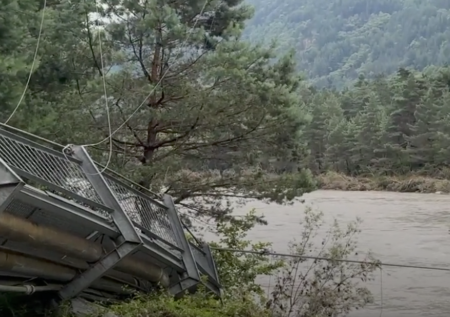
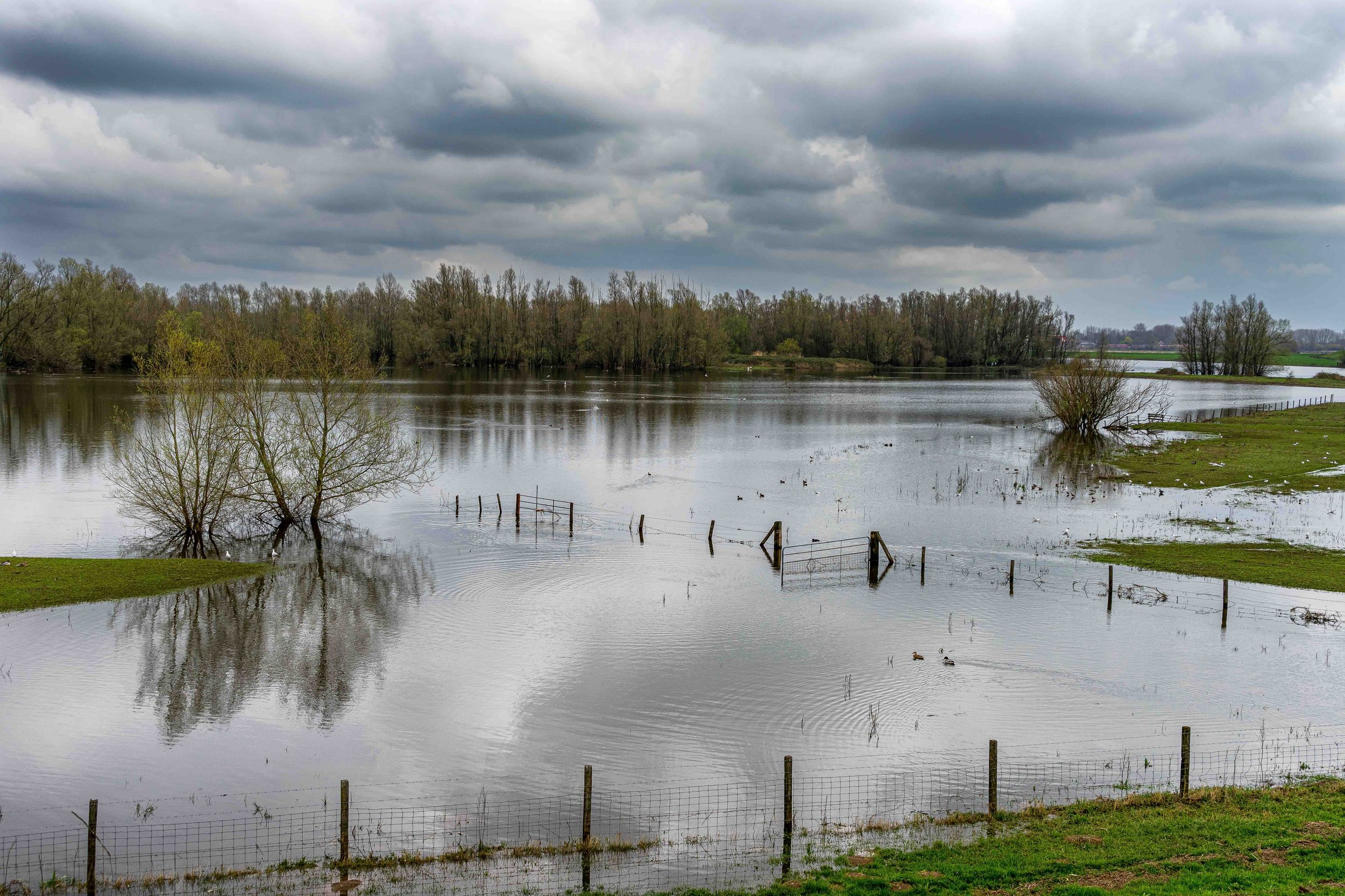
The Flood and Droughts Research Infrastructure (FDRI) will create a detailed data network through "outdoor labs" on rivers such as the Severn, Chess, and Tweed. This network is designed to enhance forecasting capabilities and develop new technologies. By integrating and analyzing the collected data, the project aims to improve the prediction and management of extreme weather events, ultimately boosting protection for communities and infrastructure.

Read full article

Upcoming Event – World Groundwater Congress

Decentlab is excited to participate in the World Groundwater Congress in Davos from September 8 to 13!

Groundwater, a vital resource facing growing pressures, requires enhanced understanding of its interactions with rivers, lakes, ecosystems, and the cryosphere, especially in the face of extreme events.

The congress will focus on advancing methodologies and developing sustainable groundwater management strategies by addressing the complex water-food-energy-ecosystems nexus. We look forward to engaging with experts from industry, public administration, international organizations, and development agencies to share knowledge and tackle these critical challenges together.

Be part of the event and visit our booth. We look forward to seeing you there.

Like a Sponge: Could this be the Future of Urban Water Systems?

A sponge city is an urban concept designed to make cities more resilient to floods and extreme weather events. The city functions like a sponge, absorbing rainwater, storing it, and slowly releasing it. This is achieved through permeable surfaces, green spaces, green roofs, and rainwater storage systems, which together reduce the risk of flooding and improve water supply during dry periods. National Geographic explains this concept in an engaging and insightful article.

Environmental sensors are crucial in sponge cities, as they monitor key parameters such as soil moisture, rainfall, and water levels in real-time. For instance, Decentlab’s DL-SMTP sensor measures soil moisture and temperature, while the DL-PR26 tracks ground water and water levels, and the DL-MBX provides ultrasonic distance and water level measurements. These sensors help optimize water absorption and storage, prevent flooding, and ensure water and air quality. This continuous data collection enables better planning and adaptation, enhancing the resilience of sponge cities to climate change impacts.

Read article

Heat Islands & Cooling Strategies

What are Heat Islands?
Heat islands are urban areas where buildings and roads absorb and re-emit more heat than natural landscapes, causing higher temperatures.

Causes of Heat Islands

  • Reduced Natural Landscapes: Less vegetation means less shading and cooling.

  • Material Properties: Asphalt and concrete retain more heat.

  • Urban Geometry: Dense buildings restrict airflow and heat dissipation.

  • Human Activities: Vehicles and air conditioning add extra heat.

  • Weather and Geography: Clear, calm weather intensifies heat islands; wind and clouds lessen them.

Cooling Strategies for Heat Islands

  • Increasing Vegetation: Adds shading and cooling.

  • Green Roofs: Reduces roof temperatures and improves stormwater management.

  • Cool Roofs: Reflective materials lower roof temperatures.

  • Cool Pavements: Heat-absorbent materials on sidewalks and streets.

  • Smart Growth: Development that enhances environmental quality and livability.

Monitoring of Heat Islands
Sensors like DL-BLGDL-SHT35, DL-ATM22 and DL-ATM41 enable precise and continuous environmental data collection, helping to understand and address heat islands more effectively.

  • Accurate Data: Offer precise temperature and environmental measurements.

  • Real-Time Monitoring: Detect temperature changes quickly.

  • Long-Term Analysis: Reveal trends for assessing cooling strategies.

  • Spatial Variations: Identify specific hotspots for targeted actions.

  • Effective Strategy Development: Inform effective cooling measures.

  • Enhance Planning: Help cities develop sustainable solutions.

Recent Storms and Floods: Enhancing Resilience

The recent floods and severe weather in Switzerland and neighboring countries have deeply saddened us and tragically claimed several lives. According to a meteorologist from SRF Meteo, moist air masses in the southern Alps and a cold front over Switzerland may have played a role in these events, while saturated soils from previous rains may have facilitated landslides. It would seem that such events are becoming more frequent and intense as a result of climate change.

Our client and partner, the Swiss Federal Institute for Forest, Snow and Landscape Research (WSL), addresses questions about these weather events and emphasizes the crucial role of advanced technologies in timely data capture and provision. Sensors like the DL-MBX | Ultrasonic Distance / Level Sensor for LoRaWAN® have been specifically developed for flood monitoring and water level measurement. They are indispensable for early warning systems, providing precise data to assess risks and protect residents and their surroundings.

Read full article
Realtime demo of DL-MBX

See the Air – Mass vs Particle Number

Traditionally, air quality has been monitored by measuring the mass concentration of particles (PM), i.e., the total mass of particles per unit volume of air. However, this method is insufficient for submicron particles (diameter < 1 micrometer). These tiny particles are numerous, but their low mass might obscure the health risks.

A better method is to measure the particle number by size distribution. This provides important insights, as different sources produce different particle sizes.

Advantages of Particle Size Distribution:

  • Source Identification: Differences in particle sizes help identify emission sources (e.g., vehicles, industry).

  • Targeted Regulations: Regulations can be designed to address specific particle size ranges associated with health risks.

  • More Effective Monitoring: Monitoring can focus on the most hazardous particle types.

Sensors like the DL-PM, which transmits particulate matter measurements along with temperature, humidity, and barometric pressure data over LoRaWAN®, enable researchers and decision-makers to gather valuable insights.

Read full article
Realtime demo of DL-PM

City Climate Monitoring - Urban Heat Maps

The alarming increase in heat-related deaths highlights the urgent need to address the complex issue of land use, particularly as urban areas continue to grow and more individuals relocate from rural regions to cities on a daily basis. Heat waves represent one of the most significant natural hazards, with a particular need to protect vulnerable groups from heat stress.

Meteoblue's Urban Heat Maps provide hyperlocal forecasts tailored to city environments, equipping both residents and town planners with the tools to assess the impact of climate change adaptation measures, such as targeted green space introduction in urban areas.

Heat maps illustrate how minor alterations can have a significant impact. 

Meteoblue and a number of cities employ a range of Decentlab devices for city climate monitoring and urban heat stress assessment, including the DL-BLG, DL-ATM22, DL-SMTP, DL-SHT35, and others.

Growing Flood Risk

Massive floods occurred in Germany and other parts of Europe in early June. The Süddeutsche Zeitung addressed the increased occurrence of intense rainfall and flooding, driven by climate change. Warmer air can hold more moisture, leading to heavier rainfall, while rising temperatures provide more energy for extreme weather events.

The Intergovernmental Panel on Climate Change (IPCC) warns of growing flood risks in Europe. Thanks to modern sensor technology, prediction accuracy has improved, enabling early evacuations. Adaptation measures such as expanding flood protection and early warning systems have already reduced fatalities.

Nature-based solutions, such as the restoration of floodplains and reforestation projects, play a crucial role in mitigating the effects of floods. However, construction continues in flood-prone areas, exacerbating risks. Over 1,000 new houses are built in such zones annually, despite 300,000 buildings already being threatened. It is urgently necessary to develop long-term solutions that consider climate change and prevent future disasters.

Read full article (only in german)

Global Decline in Groundwater Levels

Global groundwater extraction has significantly increased, leading to drastic declines in water levels in many aquifers. Despite these alarming trends, there is hope. Success stories from various regions demonstrate that proactive measures can contribute to the restoration and preservation of groundwater reserves.

Particularly noteworthy are the collaborative efforts in areas like Geneva, where unregulated withdrawals led to a water crisis but were mitigated through successful stabilization and replenishment measures of the aquifers. Additionally, initiatives such as extensive pipeline projects in Spain and the diversion of river water to replenish aquifers in Arizona highlight the potential to mitigate groundwater decline.

Additionally, sensors like DL-PR26, DL-PR36, and DL-PR36CTD play a crucial role in effectively monitoring and managing groundwater resources by providing precise data and early detection of potential issues.

Realtime demo of DL-PR36

Read full article

Forest Adaptation to extreme Climatic Conditions

This report is based on a segment from Swiss Television that discusses the challenges and strategies for adapting forests to the impacts of climate change.

Climate change poses a threat to our forests, particularly to tree species such as spruce and beech. A study predicts that by 2100, up to 50% of tree species may no longer thrive in their current locations.

To aid in forest adaptation, embracing diversity becomes paramount. By integrating both traditional and novel species, and introducing varieties from southern regions such as the black pine, we can bolster resilience.

Also central to this effort is the utilization of sensor technology to monitor growth conditions. Decentlab sensors like DL-TRS12, DL-ISF or DL-ZN1 Dendrometer for LoRaWAN are valuable tools for monitoring and protecting forests. The data they provide is crucial for creating forecasts and models for forest development.

Realtime demo of DL-TRS12

Listen to the report (german)

Further reading: Publication by University of Vienna and TU MunichTreeNet - The biological drought and growth indicator network

IoT for Climate Resilience and a Sustainable Future

Last month, the IoT webinar "Climate Resilience and a Sustainable Future" took place, featuring Decentlab as a speaker.

The event highlighted the role of the Internet of Things (IoT) in addressing climate risks and promoting sustainable solutions. Decentlab showcased innovative IoT technologies and sensors for real-time environmental monitoring, applicable in areas such as water resource management and air quality monitoring. Case studies demonstrated the successful use of these technologies in enhancing climate resilience. The discussion concluded with insights on how IoT data can foster transparency and efficient resource management to support a more sustainable future.

Watch webinar

Upcoming event – LoRaWAN Live in Munich

Soon we'll be in Munich! Visit our booth at LoRaWAN Live from June 19th to 20th.

LoRaWAN Live offers a vibrant two-day public event dedicated to all things LoRaWAN. Participants can anticipate immersive educational sessions, a bustling marketplace featuring a range of products and solutions, keynote presentations from esteemed industry leaders and VIP speakers, live demos spotlighting various use cases and market applications, as well as ample networking prospects to cultivate valuable business relationships.

Be also a part of the only LoRaWAN Live event of 2024!

Effects of Air Pollution

Every day, an adult breathes in and out 12,000 to 15,000 liters of air. Along with vital oxygen, pollutants enter our lungs through the nose, throat, and trachea, demonstrably endangering health.

The sources of air pollution vary depending on the pollutant. Most relevant pollutants are particulate matter – which can be measured with the DL-PM | Particulate Matter, Temperature, Humidity and Barometric Pressure Sensor for LoRaWAN® – ozone, nitrogen dioxide, sulfur dioxide, and carbon monoxide. Major sources include transportation, heating systems, industry, commerce, and agriculture.

The Swiss Tropical and Public Health Institute has compiled and visualized the causal and likely causal health effects of major outdoor air pollutants in an interactive graphic.

Visit interactive graphic

Realtime demo of DL-PM

New product – DL-PHEHT | PH, ORP and Temperature Sensor

DL-PHEHT | PH, ORP and Temperature Sensor for LoRaWAN®

Decentlab's sensor for measuring:

PH
Range: 0 ... 14 units
ORP
Range: -1000 ... +1000 mV
TEMPERATURE
Range: -10 ... +50 °C

Applications:

  • Industrial and municipal sewage treatment plants

  • Wastewater management (nitrification and de-nitrification)

  • Fish farming and aquaculture

  • Surface water monitoring

  • Drinking water monitoring

Sensor data are transmitted in real-time using LoRaWAN® radio technology. LoRaWAN® enables encrypted radio transmissions over long distances while consuming very little power. The user can obtain sensor data through Decentlab’s data storage and visualization system, or through the user's own infrastructure.

Project: Trees in Cities Challenge

For the first time in history, over half of the world's population lives in cities, and by 2050, two-thirds could reside in urban areas. Cities are major contributors to climate change and simultaneously highly vulnerable to its impacts such as flooding and heat stress. Nature-based solutions like urban trees and forests are crucial for adapting to climate change.

That's why the United Nations Economic Commission for Europe (UNECE) launched the "Trees in Cities Challenge". This initiative invites mayors and local governments worldwide to commit to tree planting and set goals for making their cities greener, more resilient, and sustainable.

By monitoring soil moisture and temperature profiles, cities can ensure the health and resilience of urban trees. Sensors like our DL-SMTP | Soil Moisture and Temperature Profile for LoRaWAN® can be effectively used to accurately measure and monitor such soil conditions. This enables optimal irrigation and thus improves the tree's growth and cooling performance while minimizing maintenance.

Read more about "Trees in Cities Challenge"

Realtime demo of DL-SMTP

Upcoming Event

Next month, we're excited to be exhibiting at the IoT Solutions World Congress in Barcelona from May 21th to 23nd!

This congress is a major event that brings together professionals, innovators and enthusiasts from around the world in the field of the Internet of Things. Don't miss out on this opportunity to connect with industry leaders and discover the endless possibilities of IoT innovation. Visit our booth to engage in exciting discussions and discover our innovative solutions. We look forward to seeing you there!

More about the event

New product - DL-SDD | Soil Moisture, Temperature and Salinity Profile

DL-SDD | Soil Moisture, Temperature and Salinity Profile for LoRaWAN®

Decentlab's sensor for measuring: 

SOIL MOISTURE
Range: 0 ... 100 % volumetric water content (VWC)
Resolution: 0.01 %
Accuracy: ±0.03 %

SOIL TEMPERATURE
Range: -20 ... 60 °C
Resolution: ±0.01°C
Accuracy: ±2.0 °C at 25 °C

SALINITY
Range: 0 ... 8000 volumetric ion content (VIC)

Applications:

  • Outdoor remote monitoring

  • Irrigation control in tree farms

  • Smart agriculture

  • Parks

Datasheet

Urban Heat: Importance of Trees and Environmental Sensors

With spring around the corner, the issue of heat in our cities becomes particularly relevant once again. Over the next few months, we will focus more on this topic in our monthly newsletter.

In this article, we take a closer look at the importance of trees, as outlined in an informative report by the Swiss Federal Office for the Environment (BAFU). Trees are crucial not only in forests but also in urban and agricultural areas. They improve air quality, sequester CO2, and regulate temperature. They are also essential for the well-being of residents and play a central role in combating heat islands. They provide habitat for a wide range of animal and plant species, and contribute significantly to biodiversity.

In agriculture, trees help improve the carbon balance and increase the resilience of landscapes and crops. Agroforestry systems also provide economic benefits by reducing the risk of crop failure due to heat waves and droughts.

Despite challenges such as space constraints and administrative hurdles, creative solutions such as greening buildings and integrating agroforestry systems are gaining importance.

By using environmental sensors such as DL-SMTPDL-SHT35DL-ATM41DL-LP8P or DL-PM, we can better understand these effects and take targeted measures to make our cities more livable.

Read full article in German, French, Italian

Water Management: Researching the Spread of Drought

Climate change is leading to more frequent droughts, which can affect water management, such as agriculture. Our customer and partner WSL/SLF analyzed data from 70 river catchment areas to understand how drought simultaneously influences river levels and groundwater levels.

They examined whether precipitation deficits lead to runoff deficits and ultimately groundwater deficits, with a focus on spatial extent. Their study found that 30 percent of precipitation deficits lead to low river levels, which in turn have a negative impact on groundwater in 40 percent of cases. The expectation that droughts would become more widespread with increasing duration did not hold true for groundwater, which surprised the researchers. This can be explained by differences in soil structure. In addition, aquifers can store large amounts of water. Even when rivers dry up, neighboring groundwater reservoirs may still be partially filled.

Sensors such as Decentlab's DL-MBX, DL-PR26 and DL-PR36 can be effectively used for water management such as river and groundwater levels.

Read full article

Leveraging Decentlab Sensors for Vineyard Management

Producing fine wines requires not only craftsmanship but also the right environment for the vines to thrive. Pfalzwerke has integrated Decentlab sensors into its customers' vineyards and produced an informative video report about it.

Decentlab's cost-efficient and energy-efficient sensors, such as the DL-LWS Leaf Wetness Sensor for LoRaWAN, the DL-LP8P CO₂, Temperature, Humidity and Barometric Pressure Sensor for LoRaWAN and the DL-SMTP Soil Moisture and Temperature Profile for LoRaWAN, capture important environmental data like temperature, soil moisture, air humidity, and air pressure.

The DL-LWS sensor is designed to mimic the behavior of a real leaf, allowing moisture to condense and evaporate as it would on a natural leaf surface. It detects leaf wetness using a capacitive measurement principle. All this information is highly advantageous for winemakers, as it allows for prediction when the onset of certain diseases or infections may occur.

For more insights, watch Pfalzwerke's informative video